The Grand Canyon Rim to Rim to Rim Hike
(South Rim to Roaring Spring and back)
I start to plan this hike December 1998. I hear about other people doing a rim to rim to rim hike and decide I would like too to. I calculated that it was 23.8 miles from the South Rim to the North Rim or 47.6 miles for the round hike. Depending on weather, that might be to much for a two day trip, even with lightweight pack. For a three days hike that would average to 16 miles per day, which I thought should be a moderate hike for me. I figure that by stay at the Cottonwood campgrounds two nights that would break the mileage and the elevation gain to very evenly portions. The plans I decided too do were to walk down the South Kaibab trail and then up the North Kaibab trail to the Cottonwood CG. Set up camp for two nights at Cottonwood CG and when next day I would hike to the North Rim and then turn around and return to Cottonwood CG. The last day I would hike to the South Rim by the Bright Angel trail. Made reservations for Cottonwood CG and sent in for my backcountry permit. The itinerary breakdown for this plan is:
- Day one - hike from South Rim to Cottonwood CG - 14.0 miles - elevation gain 1600 - elevation loss 4860
- Day two - hike to North Rim and then return to Cottonwood CG - 13.8 miles - elevation gain 4241 - elevation loss 4241
- Day three - hike out by the Bright Angel trail - 16.9 miles - elevation gain 4460 - elevation loss 1600
- Total Mileage - 44.7 ___ Total Elevation Gain - 10301
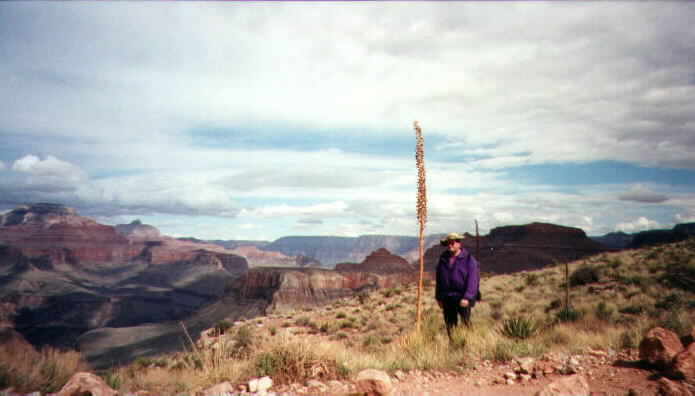
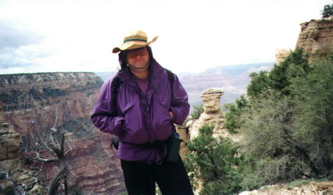
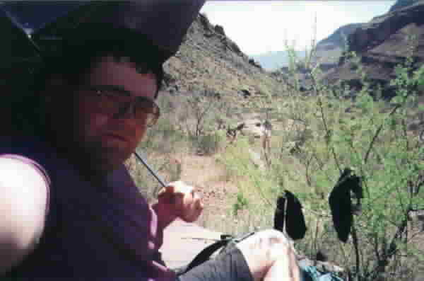
Unfortunately the Park Service closed the North Kaibab trail above Roaring Springs for maintenance and gives me the Bright Angel Campground instead of Cottonwood CG. A bummer, so I decided to do the entire trail that was open and made best of the situation. We took a bus to the Park and got to campground at about 11 am. With 4 inches of snow on the ground we were lucky to found a clear spot to set up the tent and then I got the gear needed for the trip ready. We decide to do lunch before Bonnie sent me off on the trail. Arrive at the South Kaibab Trailhead at 2 PM and say goodbye to Bonnie. Have ideal weather for hike, cool and cloudy. Got to the river at 5:30 PM, did bite of sightseeing and went about to get a site and setup camp. Feel only slightly tire, I decide to attend the ranger talk and then make supper after that. On the next day I day hike to Roaring Springs, turn around and head back to Bright Angel Campground. I rest up and did some hiking around the river and then attend another ranger talk. I set out 6:30 am next day and make the top at 1 PM. The trip went very well except for a hot spot on my right foot which I fix up with some duct tape. The breakdown of the hike is:
- Day one - hike from South Rim to Bright Angel CG - 6.4 miles - elevation gain 0 - elevation loss 4860
- Day two - hike to Roaring Springs and then return to Bright Angel CG - 20.8 miles - elevation gain 2800 - elevation loss 2800
- Day three - hike out by the Bright Angel trail - 9.3 miles - elevation gain 4460 - elevation loss 0
- Total Mileage - 36.5 ___ Total Elevation Gain - 7260
This is the list of equipment I decide to take for this little adventure. This is the lightest load I have taken for a backpacking trip so far. For this weight I was able to make good time and mileage and still feel great at the end of the day.
Total Weight - 214 oz - 13 lb 6 oz
Camping Gear
This web site was design by Mark Ziegler, June 1999